Our Team
Seneca Holland
Seneca.holland@tamucc.edu
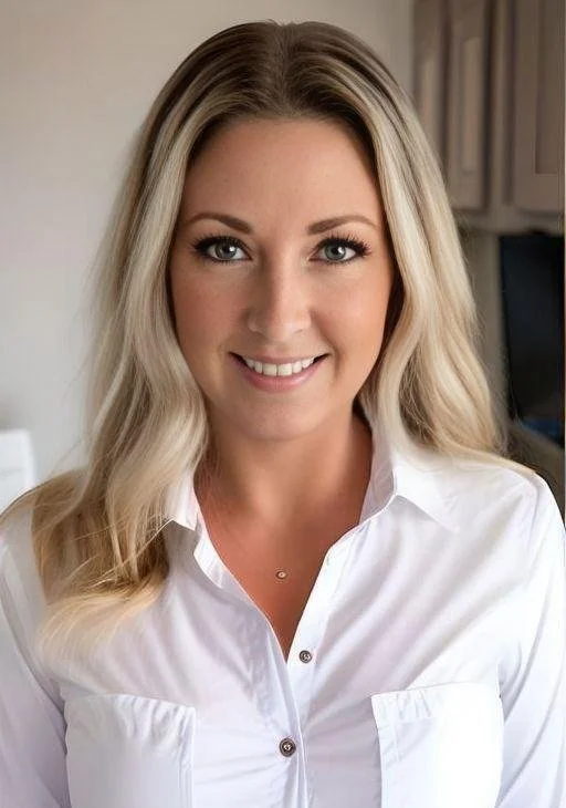
Seneca Holland is a Geospatial Research Scientist at the Conrad Blucher Institute for Surveying and Science, and an Instructor of Geospatial Science in the College of Engineering and Computer Science at TAMU-CC. Seneca Holland has an MA in Geography from the University of Georgia and a Bachelor of Science in Geography from Florida State University. Her academic expertise is in broadening that awareness of geospatial education, the merging of geomatics and InSAR, and the use of AI in geospatial technology. She is the Director of the Spatial {Query} Lab at CBI, whose mission is to make geospatial technology, education, and information accessible to everyone.
Son Nguyen
Son.Nguyen@tamucc.edu
Son Nguyen is Assistant Director of the Conrad Blucher Institute’s Analytics & Technology Solutions (CATS) team at Texas A&M University – Corpus Christi. Having earned his MS in Computer Science at TAMU-CC, Son got his first full-time position working as a software developer for the GRIIDC group at the Harte Research Institute for Gulf of Mexico Studies (HRI). He joined CBI in 2019 as a software developer. Son oversees software development projects and IT infrastructure for CBI.
Tianxing Chu, Ph.D.
Tianxing.Chu@tamucc.edu
Dr. Tianxing Chu is an Assistant Professor of Geospatial Systems Engineering and Associate Director of MANTIS Lab at Texas A&M University-Corpus Christi. He earned a B. Eng. in Geomatics from Wuhan University and a Ph.D. in Photogrammetry and Remote Sensing from Peking University in China. He was a Postdoctoral Research Associate and then Assistant Research Scientist at Texas A&M University-Corpus Christi. He is a geospatial scientist who focuses on emerging Remote Sensing and Autonomous Mapping/Sensing technology for modeling our living environment. His current research interests include ubiquitous navigation and positioning on mobile platforms (e.g. Signal of Opportunity and MEMS sensors), indoor simultaneous localization and mapping, and Geospatial AI applications for coastal-related decision-making efforts.
Danielle Smilovsky, Ph.D.
Danielle.Smilovsky@tamucc.edu
Dr. Danielle Smilovsky is responsible for designing and implementing research projects using InSAR technology to address a range of geoscientific challenges.
Dr. Smilovsky focuses on SAR/InSAR and GIScience applications and serves as a Geospatial Service Center leader. She has 15 years of professional geospatial experience, with over 10 years focused on InSAR and GIS technology. She received her Ph.D. in Geographic Information Science from Texas State University at San Marcos and holds a Master of Science in Geographic Information Systems and a Bachelor of Science in Environmental Sustainability from Arizona State University at Tempe.
Shelby Sharpe
Shelby.Sharpe@tamucc.edu
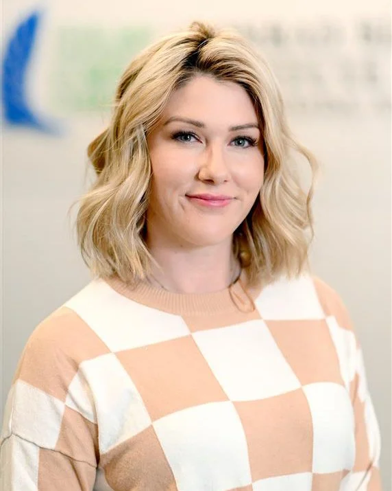
As an Instructional Designer and Educational Researcher, Shelby designs and develops geospatial learning activities, course content, e-learning resources, on-the-job training programs, and instructor-led training programs for both academic and professional audiences. With a decade of experience teaching various grades and subjects, Shelby is passionate about exploring how people learn outside traditional educational institutions and making online learning more accessible for older adults. As a mother of two, she understands the importance of lifelong learning and is dedicated to creating innovative solutions that empower individuals to pursue knowledge at any age. When not immersed in her research, Shelby can often be found enjoying the beautiful beaches of Corpus Christi with her family.


