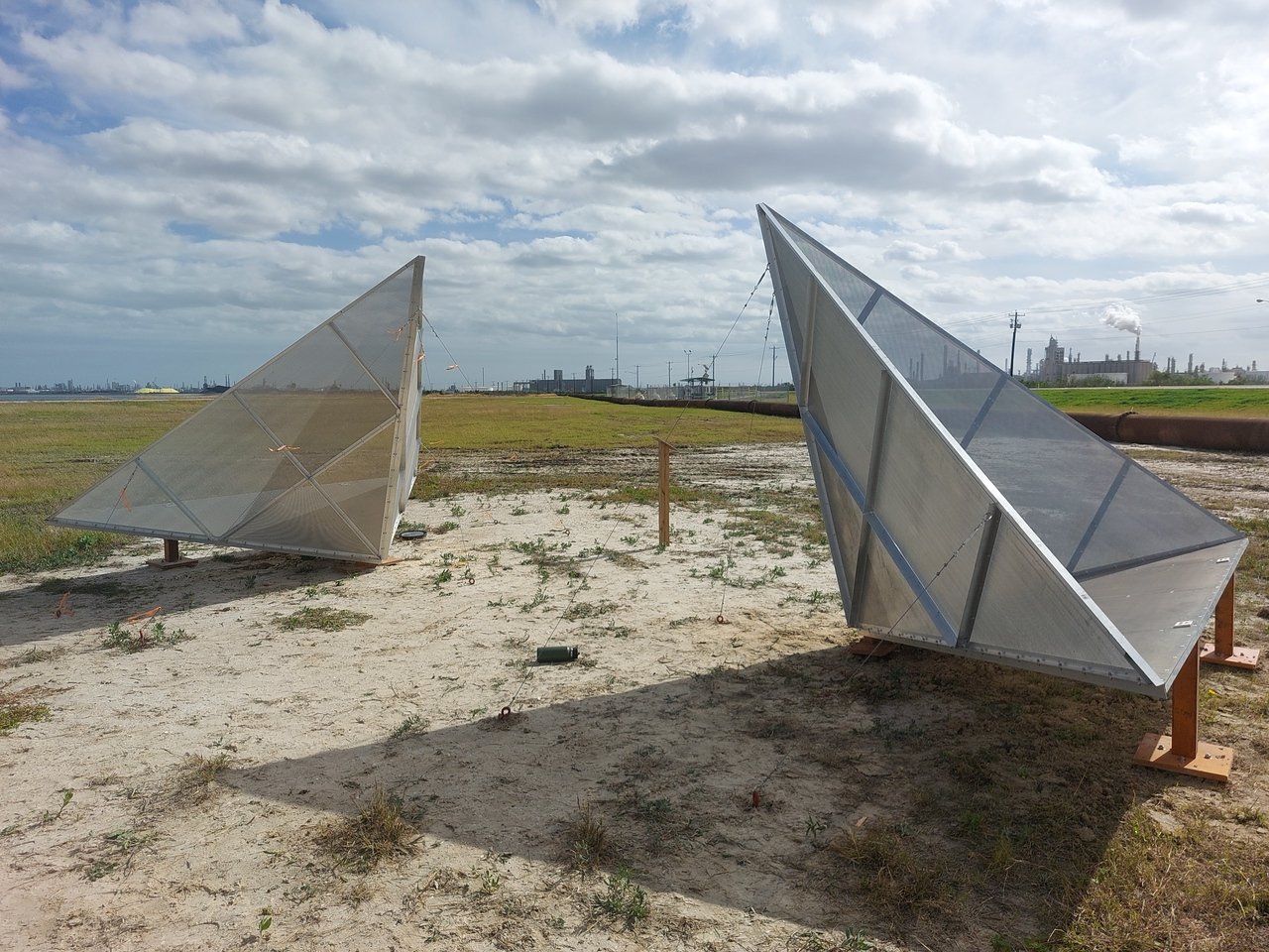
InSAR - Interferometric Synthetic Aperture Radar
Interferometric synthetic aperture radar, abbreviated InSAR is a radar technique used in geodesy and remote sensing. This method uses two or more synthetic aperture radar (SAR) images (SAR) to create maps of digital elevation using differences in phases of waves returning to the satellite. This method allows us to get sub-centimeter accuracy over a period of months to years.
The NISAR mission will observe Earth’s land and ice-covered surfaces average every 6 days for a baseline 3-year missioglobally with 12-day regularity on ascending and descending passes, sampling Earth on average every 6 days for a baseline 3-year mission
NISAR will be the first radar of its kind in space to systematically map Earth, using two different frequencies (L-band and S-band) to measure changes of our planet’s surface, including movements as small as centimeter. Synesthetic aperture radar (SAR) refers to a technique for producing fine-resolution images from a resolution-limited radar system
Featured News
NISAR Installations

